With more than 30 years of general contracting experience, we offer whole-facility survey, architecture, commercial construction, and management solutions. Turnkey or à la carte — the choice is yours.

Site Survey
Clearly understanding all your existing site conditions can ensure a project’s success. From a simple multi-location installation or 2nd gen commercial space to an entire campus, our site surveyors utilize the latest technology, so you have the most accurate data to drive your decisions. Since we also operate construction and architectural divisions, our regionally based drafters are trained to know what to look for and thoroughly document it for easy access. Coordinating the logistics, Menemsha’s multisite management division quickly deploys qualified surveyors throughout the country to cost effectively meet your project’s deadlines.
20,000+
Surveys Completed
50+ Million
SF Surveyed
As Built Surveys
- 3D Laser Scan to Point Cloud
- Scan to BIM or CAD
- Matterport 360-degree
- Point Cloud 360-degree Fly through
- BIM Revit 360-degree Walk-through
Site Investigation Reports
- Critical Project Information
- Plan Check/Permit Requirements
- Utility Information
- MEP Data
- Zoning & Site Data
Facility Assessments
- Asset Tagging
- Brand Compliance
- Existing Conditions Assessment
- Maintenance Tracking
- Equipment Inventory
ADA Compliance
- Full ADA Evaluation
- Recommendations for Compliance
- Budgets for Remediation

Architecture
Menemsha’s Multi-Site Architectural team is equipped with the tools, resources, and technology to keep things accurate and concise. Utilizing our experience from national initiatives to single multi-million-dollar design-build projects, our 50+ member team is equipped to handle projects from coast to coast. With speed to market being our focus, we ensure that every detail is covered by working in collaboration with our construction team from beginning to end. Leveraging our office in India, Menemsha can remain price competitive and keep production moving 24/7.
1,000+
Projects Completed
240
Clients Served

Preconstruction
Menemsha’s preconstruction services provide a formal approach to resolving potential project challenges prior to construction. Depending on where the owner is in the process, our expert team will develop a customized plan. Our preconstruction services can resolve the unknowns of a project, reduce project risk, and identify areas for cost savings – with minimal investment.
1120
Projects Completed
4750
Subcontractor Partners
Budget ROM/Estimating
- Existing Conditions Analysis
- Budgeting at all Phases
- Cost Modeling
- Control Estimates
- Contingency Development
Design Coordination
- Building Information Modeling (BIM)
- Constructability Review
- Safety Plan Development
- Logistics & Phasing Development
- Scheduling
- Document Control
Procurement
- GC/Subcontractor Qualification
- Long Lead Item Sourcing
- Phasing/Logistics
- Bid Evaluation & Leveling

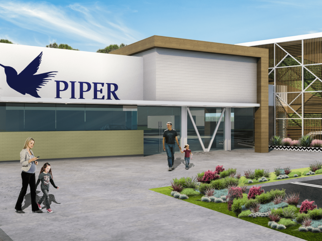
Design-Build
Menemsha stands out from all other Design Build Contractors. With Surveyors, Designers, Architects, Estimators, Procurement, and Project Management all on staff, the foundation of each project’s success is solely under one roof. Our collaborative and strategic approach eliminates surprises to ensure projects are completed on time and on budget. By going above and beyond the standard design-build model, Menemsha’s process allows a more predictable and cost-effective outcome while ensuring success.
108
Design-Build Projects
Completed
$200 Million+
Projects Designed


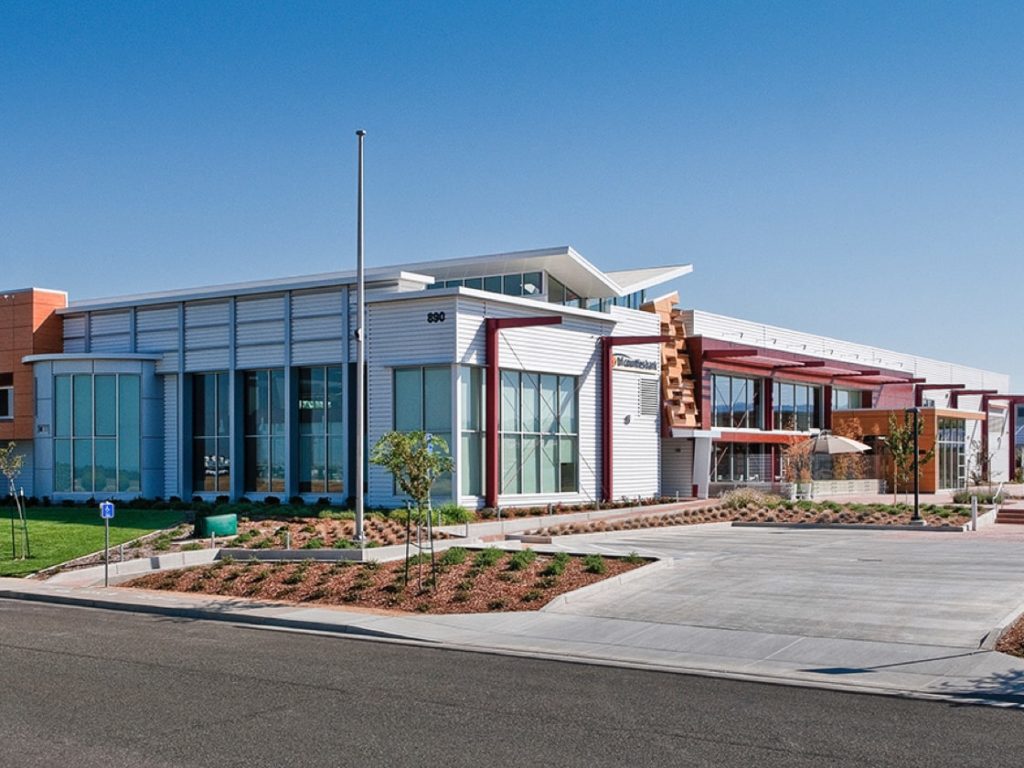
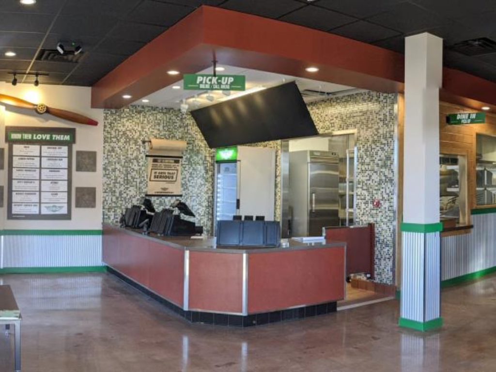
Commercial Construction
Thirty successful years in the commercial construction industry guarantees we can get the job done. With dedicated teams uniquely qualified to manage Restaurant, Retail, Banking, Education, Life Sciences, Industrial, and Corporate Interiors, Menemsha’s construction division can manage largescale rollout programs to multi-million-dollar projects. Each step is planned and managed by our highly qualified and experienced project managers. We are known for what we build and for how we build it, but what you can’t see is just as important. Trust is what we build.
4,750+
Projects Completed
280+
National Brands


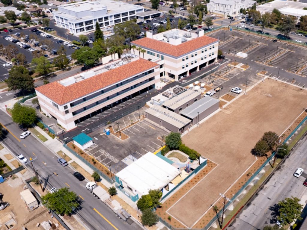
Multi Site Programs
Built for multi-site and program rollout initiatives, we are uniquely structured to manage any program’s aggressive pace. Our expertise and infrastructure support resource planning, coordination, logistics, and expectations to ensure your program’s success. From the ground up, Menemsha has customized its operations to anticipate and manage the challenges of multi -site projects. Our skilled teams are equipped with the tools, resources, and technology to foresee challenges and resolve them in real-time to keep programs on track. With a national footprint, our regionally based staff communicates seamlessly with program managers, crew foremen, and field-based project management. Streamlining rollout projects from survey to signoff.
125
Clients Served
5500
Sites Completed
Program Management
- Single Point of Contact
- Online Project Management (OPM)
- Custom/Real -Time Reporting
- Rollout Scheduling Management
- Vendor Management
Self Performed Labor Force
Full Control of quality, schedule, cost, safety, accountability
Logistics Management
- Warehousing
- Inventory Management
- Material Procurement
- Consolidation
- Lead time assessment